DRISHTI · CHAPTER 6.2
Most of Life Is Inside, Underneath or Too Small
A forest seen from above is a roof, its roots are a hidden machine, and the organisms doing most of its chemistry fit comfortably inside a pixel.
EARTHVISION LAB · ~18 MIN READ
OCCLUSION AND SCALE
A satellite image of a forest is mostly a picture of its roof, because the top of the canopy intercepts and reflects most of the light. That is very useful for mapping where forest is, where it was cleared and how healthy the canopy looks. It is a peculiar way to describe a structure that runs from leaf litter to crowns tens of metres up.
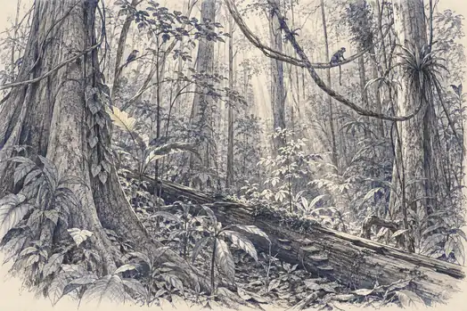
Inside that space are trunks, branches, lianas, dead wood, gaps, understory plants, epiphytes, animals, humidity gradients and patches of light very unlike the canopy surface. Below it are roots, and in a single gram of the soil around them, bacteria, archaea, fungi and protists doing much of the forest's chemistry. Two forests can look identically green from above while differing in biomass, age, habitat and nearly everything underneath.
Two different blind spots are at work. One is occlusion: an object blocks another from the sensor, and a sharper photograph of a roof remains a photograph of a roof. The other is scale: an organism can be in plain view and still far too small to resolve, and many microbes are told apart by genes and metabolism rather than by appearance anyway. Neither yields to a better camera.
GEDI AND BIOMASS
A laser echo and a long radar wave reached inside
NASA's Global Ecosystem Dynamics Investigation, GEDI, measures how a laser pulse returns over time. Light from the top of the canopy comes back first, energy from lower branches later, and where enough light reaches the ground, the ground return arrives last. The returning waveform is therefore a vertical profile rather than a single brightness. Its footprints average about 25 metres across, spaced about 60 metres apart along each track with roughly 600 metres between neighbouring tracks. GEDI does not photograph every square metre of forest. It samples vertical structure along an enormous number of transects.
From those waveforms come canopy height, canopy cover, profiles of plant material, foliage-height diversity and above-ground biomass. The only thing GEDI directly observes, though, is the waveform. Biomass is estimated through relationships calibrated against airborne lidar and field plots measured by people with tape measures. It is a much better view of a forest's inside than ordinary imagery gives, and it remains a sampled view of structure. It shows where the wood and leaves are, not which species occupy each layer or what they are doing there.
ESA's Biomass mission, launched on 29 April 2025, attacks the same problem with a radar wavelength of about 70 centimetres, in the P-band. A wave that long passes through foliage and interacts with trunks and large branches, where most forest carbon is actually stored. The mission is designed to produce repeated global estimates of forest biomass and height and, in ESA's words, to reduce major uncertainties in carbon stocks and in the losses and regrowth that change them.
Penetration is not transparency. The returned signal is still a mixture of interactions with vegetation and ground, interpreted through models of structure, moisture and geometry. Biomass is inferred from the echo rather than counted branch by branch, and the same long wave that reaches through a canopy can reveal buried geology in a dry desert while still missing the fine detail of a tropical understory. The forest has allowed us a better echo, not an inventory.
BELOW THE CANOPY, BELOW THE SOIL
The understory, and the machine underground
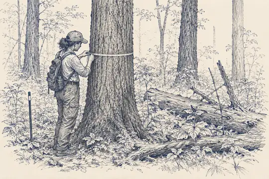
Forest ecology often cares about things neither canopy imagery nor structural lidar identifies: seedlings, understory composition, invasive plants, dead wood, fungal fruiting, how animals use particular microhabitats, and the small gaps that decide what regrows. These are patchy and usually hidden beneath several layers of leaves. Field plots matter because they name what the remote signal cannot, and GEDI's own biomass calibration depends on ground inventories gathered around the world. The plot is not a leftover from the era before satellites. It is the part of the measurement chain that tells the waveform what biomass means.
Airborne and ground-based lidar give denser three-dimensional detail over smaller areas, drones fly beneath or close to the canopy, and the camera traps and acoustic recorders of Volume 2 sample the animals. Each opens another interior and reveals another one behind it. A forest can be mapped, measured and monitored for clearing while almost nothing is known about who lives in a particular shaded square metre beneath the crowns.
Underground, the blind spot becomes practical. Two fields with the same canopy colour can differ in root depth, soil structure, salinity and access to groundwater, and those differences decide how long a crop survives a heatwave or a failed rain. Roots are measured by methods that make global coverage unlikely: soil cores, excavation, minirhizotron cameras slid into transparent tubes in the ground, electrical and radar surveys, isotope tracing and models. Fine roots grow and die quickly and are scattered unevenly, so even their total mass is hard to pin down.
This matters for carbon as much as water. A substantial share of a plant's carbon enters the soil through roots, their secretions and the microbes around them, so greenness at the surface can change less than the carbon balance below. An observing system built around leaves is looking at the part of the plant that happens to face space.
A forest can be completely green on a map and still contain an enormous amount of darkness underneath.
MICROBES AND FUNGI
Most of the catalogue still says unknown
The Earth Microbiome Project was built around a simple problem: microbial studies from different laboratories could not be compared because each sampled, extracted and sequenced differently. The project standardised the methods across thousands of samples of soil, sediment, water, plants, animals and buildings. Its first major global analysis covered 27,751 samples from 43 countries and about 2.2 billion sequences of the bacterial and archaeal 16S ribosomal RNA gene. As a summary in Nature Reviews Microbiology noted, only about 10% of those sequences matched existing reference databases at the time.
That does not mean 90% of microbial species were newly discovered. A sequence is not automatically a species, and the marker gene used has its own limits. What it shows is how quickly sampling outran the catalogues used to interpret it: we could detect biological variety faster than taxonomy could say what produced it. It also shows that invisible does not mean inaccessible. The instrument is not a camera but a laboratory pipeline attached to a sampling plan. To see a microbial planet, we first have to remove a small piece of it.
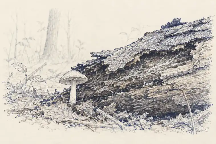
Fungi make the naming problem embarrassingly obvious. Royal Botanic Gardens, Kew estimated in 2023 that Earth may hold about 2.5 million fungal species, more than 90% of them unknown to science, and that at the current pace of formal description the catalogue would take close to a thousand years to finish. Most fungi spend their lives as microscopic filaments in soil, wood or living hosts. The mushroom is a reproductive structure, not the organism, so a forest can contain a vast fungal network without presenting anything a satellite, drone or passing ecologist could count.
Sequencing reveals lineages nobody has cultured or described, but reference databases have a geography of their own. Organisms from well-studied regions and institutions are easier to match than those from poorly sampled ecosystems, because a library can only identify what someone has already placed in the library. This is a different kind of missingness from a blank map. The sample contains a signal, the pipeline detects it, and the database returns unknown. The organism is unseen not for want of evidence but because the evidence has no agreed name.
ENVIRONMENTAL DNA
Sampling an organism without meeting it
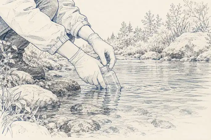
Environmental DNA extends the same logic to larger life. Organisms shed genetic material into water, soil and air through skin cells, scales, mucus, pollen, faeces and other traces. Collect a sample, extract the DNA and search it for identifying markers, and a species can be detected without ever being seen or caught. USGS uses the method for rare, hidden and invasive species precisely because it finds organisms that conventional surveys miss, and in rivers and lakes one sample can reveal much of a community at once. The environment has been collecting biological evidence long before the scientist arrives.
It brings its own interpretation problem. DNA moves. Rivers carry it downstream, wind carries pollen, and molecules decay at rates set by temperature, sunlight and chemistry. A detection establishes that genetic material reached the sample, not that the animal stood at that spot at that moment. Reference gaps remain, some groups amplify better than others, and rare organisms can be missed. Molecular observation opens a hidden biosphere and replaces visual blind spots with molecular ones.
Knowing who is present is also not knowing what they are doing. Two soils can share many of the same lineages while differing in which genes are active, which chemicals are produced and which organisms interact. Metagenomics reads genetic potential, metatranscriptomics the genes actually being expressed, and metabolomics the chemical products. Nutrient cycling, disease and symbiosis can shift long before canopy colour or productivity responds, so the state that matters can change with no visible change in the landscape at all.
A complete observing system for life will therefore stay multi-scale by necessity. Satellites find where conditions changed, lidar and radar measure the structure, field crews and recorders sample the inhabitants, and molecular methods read what the inhabitants are made of and doing. None substitutes cleanly for another. Visibility turns out to be a property of the question: the same forest can be well observed for clearing and barely observed for the life that clearing destroys.
A planet can be green from space while most of its biological conversations remain microscopic.