DRISHTI · NOTE 002.3
Everything on Earth Is Giving Something Away
Leaves reflect light nobody can see, whales sing into Cold War microphones, and rivers can be weighed from orbit. Observation is the art of catching what the planet lets slip.
EARTHVISION LAB · ~7 MIN READ
SIGNALS
Landsat 1 launched with two instruments. The important one was a television camera built on proven weather-satellite technology. A faulty power circuit shut it down days after launch, and the experimental scanner that nobody fully trusted became the mission's only working eye. That scanner recorded the ground not as a picture but as numbers, one measurement per wavelength per spot, and in doing so it quietly decided what Earth observation would be for the next fifty years.
Numbers were the right choice because an instrument never really sees a forest, a whale or a flood. It catches something the forest, the whale or the flood gives away: light bouncing off it, heat or sound coming from it, an echo sent back, a signal from a tag it carries, even the pull of its weight. Once observation is understood that way, a satellite, a microphone in a reef and a camera strapped to a tree turn out to be doing the same job from different places.
REFLECTED LIGHT
Light the eye was never built for
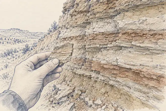
Human eyes see a narrow band of light, and most of what is interesting about a leaf happens just outside it. A healthy leaf absorbs red light to power photosynthesis and reflects near-infrared strongly because of the way its internal cells scatter it. Water does almost the reverse, swallowing infrared. To a person, a field and a pond can look similar at a distance. In near-infrared, the field glows and the pond is black.
Landsat's scanner measured four bands. Europe's Sentinel-2 measures 13, from blue through near-infrared to the shortwave infrared, where moisture in leaves and soil shows up. Imaging spectrometers such as Germany's EnMAP, launched in 2022, record more than 200 narrow bands, enough to tell not only that clay is present but which clay mineral it is. Each extra band is another question the surface can be asked, at the cost of a much larger file for the same patch of ground.
The famous vegetation index, NDVI, comes after all this rather than instead of it. It is a ratio calculated from red and near-infrared reflectance, a compact way of saying how much leaf is there, not a direct reading of plant health. And because none of these wavelengths are visible, software paints them into colours the viewer can see. A healthy field often appears bright red because near-infrared has been assigned to red for the viewer's convenience. Nothing fake has happened. The measurement is real. The colour is a translation.
HEAT AND SOUND
Warmth and noise
Everything warm gives off infrared energy of its own, no sunlight required. Thermal instruments in orbit read that glow, which is why a satellite can find a fire at night, map a city that stays hot long after sunset, or take the temperature of an entire ocean basin before breakfast. It is the one kind of watching that works better in the dark.
The same physics runs the humblest wildlife instrument in the forest. In the 1890s George Shiras III rigged cameras to tripwires and magnesium flash powder, so that a deer brushing a wire at night photographed itself in a blaze of light. National Geographic printed 74 of his pictures in July 1906, and several of the society's board resigned in disgust at the magazine filling up with pictures. The modern camera trap replaced the tripwire with a passive infrared sensor, which fires when something warmer than its surroundings moves in front of it. A satellite finding a fire and a camera finding a jaguar are reading the same kind of signal a few hundred kilometres apart.
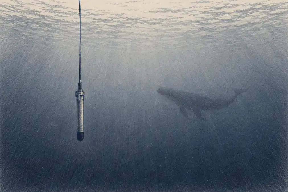
Sound reaches where light cannot. During the Cold War the U.S. Navy laid lines of hydrophones on the ocean floor, the Sound Surveillance System, SOSUS, to listen for Soviet submarines across entire ocean basins. Operators kept logging a low, unidentified sound they nicknamed the Jezebel monster. After the system was declassified in 1991, the Cornell bioacoustician Christopher Clark was given access, and in 1992 he recognised the frequency of a blue whale and realised that arrays hundreds of kilometres apart were hearing the same animal. A network built to find submarines turned out to be the best whale observatory ever made. Today small recorders strapped to trees and moored on reefs do the same work on land and in shallow water, catching birds, frogs, bats and fish that never walk in front of a camera.
WHAT WE SEND AND CATCH BACK
Shout, then listen for the echo
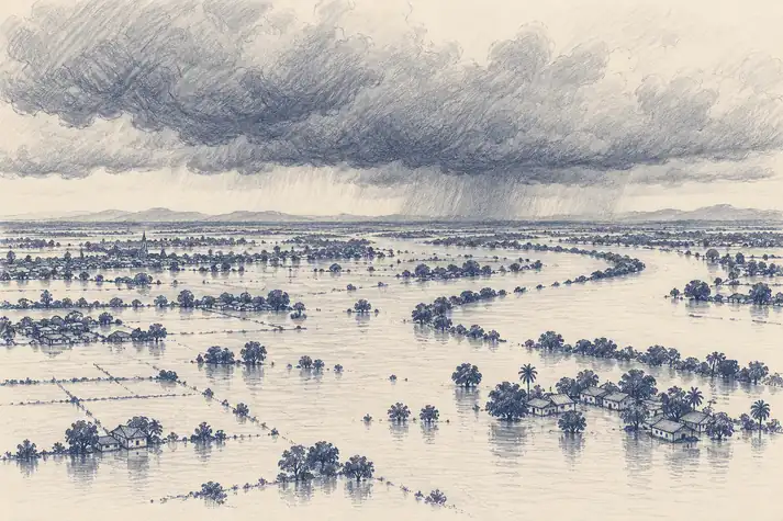
Light, heat and sound are things the planet gives off. Radar is what happens when an instrument stops waiting and brings its own light. A synthetic aperture radar in orbit sends microwave pulses at the ground and measures what comes back, using the satellite's own motion to behave like an antenna far longer than the one it carries. Microwaves at these wavelengths pass through cloud largely undisturbed and do not care whether it is day. Europe's Sentinel-1 resolves detail down to about 5 metres, or covers a swath 400 kilometres wide. Calm water reflects the pulse away from the satellite and shows up dark, so a flooded valley under a week of storm cloud can be mapped overnight. No ground survey can do that across a region. No camera can either.
Radar also caught something it was never aimed at. British operators in the Second World War saw faint, drifting echoes they called angels, which some claimed were souls heading home. The ornithologist David Lack, then working for the Army's Operational Research Group, showed that many were flocks of migrating birds, and after the war he turned the nuisance into a science. Today BirdCast, run by the Cornell Lab of Ornithology with Colorado State University and the University of Massachusetts, reads the U.S. weather radar network every night of the migration seasons, maps the birds in the air from sunset to sunrise, and forecasts how many will fly, so that cities can be asked to dim their lights on the heaviest nights. Radars built to measure rain now forecast birds.
Aim the pulse straight down and time the echo, and radar becomes a ruler. Satellite altimeters have measured global sea level this way since TOPEX/Poseidon in 1992, and it turns out the ocean surface has hills and valleys tens of centimetres high that a satellite more than a thousand kilometres up can see. Rivers were harder, being narrow and inconsiderately winding. SWOT, a NASA and French mission launched on 16 December 2022, times the echo with two antennas across a swath 50 kilometres wide on either side of the satellite, and measures the height of rivers wider than about 100 metres and lakes larger than about 62,500 square metres. Before SWOT, hydrologists had good height records for a few thousand of the world's lakes. The mission was built to raise that to at least a million.
WHAT THINGS CARRY
Things that report themselves, and things that can be weighed
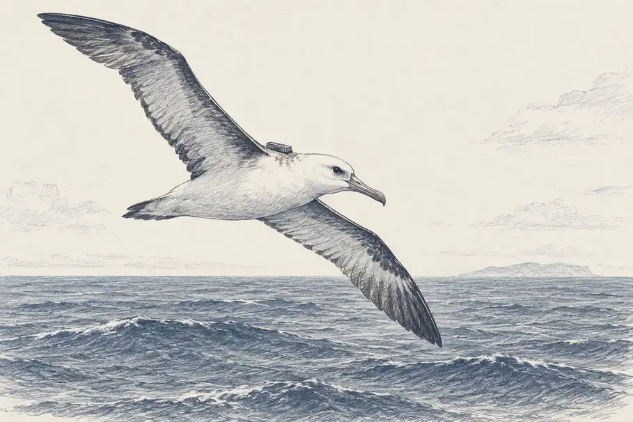
Mortensen's rings needed a stranger to find the bird. In 1978 the Argos system, built by NOAA and the French space agency CNES, removed the stranger: a transmitter on an animal sends a signal that satellites overhead can locate, so a seal, a turtle or an albatross reports its own position from anywhere on the ocean. Tags shrank from there, and GPS collars eventually let an animal record its own track. The ICARUS initiative, begun in 2002, aimed the idea at creatures too small for conventional tags and installed a receiving antenna on the International Space Station in 2018. The ring had become a radio.
The strangest signal of all is weight. GRACE, a NASA and German mission launched in March 2002, flew two satellites about 220 kilometres apart and measured the distance between them with microwaves, to within a fraction of the width of a hair. When the lead satellite passed over a heavier patch of Earth, it was pulled slightly ahead, and the gap changed. Water is heavy, so GRACE could weigh it. Between 2002 and 2008 it recorded more than 109 cubic kilometres of groundwater disappearing from beneath northern India, water no satellite could see and no well network could total, found by feeling the planet get lighter.
Light, heat, sound, echoes, tags and gravity: each instrument catches one thing the world gives away and reports it faithfully. The forest, the whale, the flood and the aquifer are conclusions drawn from those signals, which is exactly what makes them checkable. Put several signals side by side, the red and the infrared, the radar and the gauge, the tag and the song, and conclusions that no single instrument could support become solid. None of these instruments sees the planet. Together, they come remarkably close.