COSMICS · CHAPTER 5.6
One Place, Hundreds of Sensors
Fusion is the problem of making several imperfect witnesses describe one changing place.
EARTHVISION LAB · ~15 MIN READ
THE FUSION PROBLEM
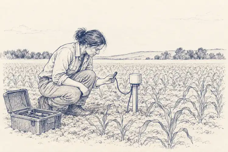
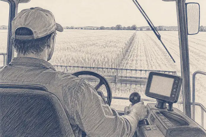
Take one agricultural field. An optical satellite sees reflected light. Radar responds to structure and moisture. A weather station measures air a few kilometres away. A soil probe samples one point every few minutes. A yield monitor records what happened during harvest. All of them can be correct and still disagree.
Sensor fusion is not averaging those answers. It is deciding what each measurement says about a hidden state that none of the instruments observes completely. The field has one physical history. The instruments have several partial versions of it.
This is different from the multimodal problem in the previous chapters. A shared representation asks whether different data types can be encoded together. Fusion asks a harder operational question: given several measurements arriving at different times with different errors, what should the system believe about the place now?
THREE MISMATCHES
Space, time and physics all fail to line up
The spatial mismatch is obvious. One sensor may describe ten metres, another nine kilometres, and a probe a few cubic centimetres of soil. Resampling can place them on the same grid. It cannot make them represent the same volume of Earth. A coarse value copied into thousands of fine pixels has acquired detail in the file and none in reality.
Time is worse. Ground instruments can stream continuously while satellites arrive on orbital schedules and optical observations disappear behind cloud. A fusion system has to decide whether an old measurement remains valid, whether to interpolate through the gap, whether a model should carry state forward, or whether uncertainty should simply increase until new evidence arrives.
Then comes physics. Optical greenness, radar backscatter, thermal emission and microwave brightness temperature are not four noisy readings of one variable. They respond to different properties. Their relationship changes with vegetation density, surface roughness, soil texture, incidence angle, temperature and water content. Correlation is conditional.
Error can also be shared. Two satellite products may depend on the same atmospheric correction or the same external weather dataset. Treating them as independent witnesses can make the combined estimate more confident without making it more correct. A crowd of witnesses is less useful when they all heard the same rumour.
HOW STATE IS ESTIMATED
Fusion is mostly a problem of weighting evidence
Fusion can happen at several levels. Early fusion aligns raw or lightly processed measurements and feeds them together. Feature-level fusion lets each source produce a representation first. Late fusion lets independent models produce estimates and combines the estimates afterward. The later the fusion occurs, the more independence each source keeps and the more source-specific information may already have been discarded.
State-estimation systems use a more explicit logic. The model carries a prior estimate of the current state, new observations arrive, and the estimate is updated according to how uncertain the prior and observations are believed to be. The data-assimilation machinery introduced in the previous volume is the mature physical example of this pattern.
The difficult part is not the update equation. It is the error model. If an instrument is assumed to be more precise than it really is, it pulls the state too strongly. If model error is underestimated, observations barely move the estimate. If errors are correlated but treated as independent, repeated evidence gets counted twice.
Learned fusion can infer weighting from data instead of specifying every covariance explicitly. That is useful when sensor relationships are complex. It can also learn the easiest shortcut. If one source happens to predict the training target unusually well, the network may ignore the others until deployment reaches a condition where its favourite source fails.
A REAL FUSION SYSTEM
SMAP turns one microwave measurement into a three-hourly soil state
NASA's SMAP Level-4 soil-moisture product is a useful example because the final dataset looks deceptively simple. It provides global estimates of surface and root-zone soil moisture on a 9-kilometre grid every three hours. The satellite does not directly measure that complete three-dimensional soil state every three hours.
SMAP observes L-band microwave brightness temperature, which is sensitive to near-surface soil moisture. The Level-4 system assimilates those observations into NASA's Catchment land-surface model. The model carries water through time and through the soil profile, while the satellite periodically corrects the state where observations are available.
The root-zone estimate is therefore a fusion product in the strongest sense. It combines what the radiometer can observe near the surface with precipitation forcing, land-surface physics and the model's representation of vertical water movement. A user receives one soil-moisture field, but different parts of that field owe different amounts of their value to measurement and model.
NASA's Version 8 documentation describes 3-hourly 9-kilometre surface and root-zone estimates and continues refining precipitation forcing, land parameters and the microwave radiative-transfer model. The product improves because both witnesses improve: the observation system and the model used to interpret it.
DISAGREEMENT IS DATA
A good fusion system preserves the argument
Multiple sensors are valuable partly because they fail differently. Cloud can destroy an optical observation while radar remains usable. Radio-frequency interference can damage a microwave measurement while a ground station remains intact. A probe can fail locally while a satellite still sees the wider pattern.
Agreement across genuinely independent sources can raise confidence. But disagreement should not automatically be averaged away. If radar implies a surface changed and optical imagery does not, the mismatch may indicate moisture, geometry, vegetation or simply an acquisition-timing difference. The disagreement can contain more diagnostic information than either estimate alone.
This is why provenance belongs inside the state. A useful system should be able to answer which observations contributed, how old they were, what model linked them, and how much the result changes when one source is removed. Otherwise the fused value becomes authoritative precisely when its evidence becomes hardest to inspect.
The next problem is what happens after fusion succeeds. Once a system can combine hundreds of variables, it can search for relationships among them at enormous scale. Earth will provide many. Most will be correlations. Intelligence depends on knowing which ones deserve another look.
Fusion should reduce uncertainty without erasing the evidence that created it.