COSMICS / VOLUME 001
The Planet Is Measurable. Is It Understandable?
A personal note on Earth, sensors, models, and the distance between seeing and knowing.
EARTHVISION LAB · ~20 MIN READ
WATCHING GETS CHEAPER
More eyes
Sputnik 1 did not observe Earth. On October 4, 1957, it crossed the sky as a polished metal sphere with a radio beacon inside it. People heard the beep before they understood the new architecture around them. The first artificial satellite was less an eye than a sign: the planet had acquired an outside.
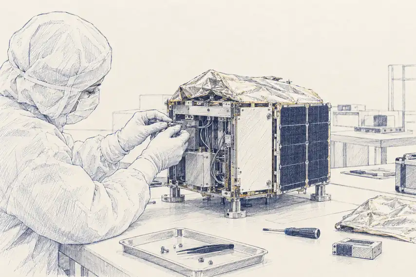
Landsat 1 arrived in 1972 with multispectral instruments, and a different kind of watching began. A field, a forest, a coastline, a city edge could be revisited from orbit. Later came radar that could see through cloud and darkness, hyperspectral sensors that could separate narrow bands of reflected light, CubeSats small enough to ride into orbit in groups, and commercial fleets that made repeat imaging feel ordinary.
The scale still catches me. Thousands of machines now move above us, and a growing share of them are pointed back at the ground. Planet has built fleets that can image Earth's land surface at daily cadence. Radar operators can revisit a floodplain through monsoon cloud. Hyperspectral instruments can ask whether a pixel carries a chemical signature rather than only a color.
It is tempting to call this progress and stop there. But more eyes do not automatically produce a better mind. They produce more chances to notice, and also more chances to confuse noticing with knowing. A daily image of a field tells me that the field changed. It does not, by itself, tell me what the field is becoming.
THE HARDER HALF
Seeing is not knowing
Judea Pearl's ladder of causation stays in my head because it gives language to a discomfort I keep meeting in Earth observation. Association asks what tends to appear with what. Intervention asks what would happen if something changed. Counterfactual reasoning asks what would have happened if the world had turned slightly differently.
Most satellite systems are very good at the first kind of question. A thermal anomaly appears; an active fire is likely. Water spreads across pixels that were dry yesterday; flooding has probably begun. Vegetation reflectance drops; stress may be present. These are not trivial achievements. They save time, money, and sometimes lives.
But the question that keeps bothering me usually arrives before the visible evidence. Which dry forest is about to burn? Which basin is becoming dangerous before the water crosses the road? Which crop is entering failure while it still looks green from a distance?
A three-hour warning and a three-day warning can look like versions of the same product, but they are not the same thought. One begins after the world has started confessing. The other asks the model to infer a pressure building inside the system. That is where the facts stop feeling like facts and start feeling like bets.
A sensor can tell me something changed. The harder question is whether it can tell me what kind of future that change belongs to.
GROUND TRUTHS
The farmer's shadow
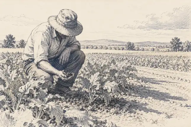
Agriculture is where this becomes personal for me. A farmer does not need a satellite to know the sky has been strange. The body learns seasons. Soil has a smell before rain. Leaves carry small warnings. People who work with land often trust signals that would look unscientific until a model rediscovers them under another name.
NDVI made one of those signals computable. By comparing near-infrared and red reflectance, it gave chlorophyll a rough orbital shadow. EVI, red-edge indices, radar soil moisture, and missions like SMAP made the shadow more layered. A crop could be read through greenness, canopy structure, surface moisture, and stress.
NASA Harvest pushes those layered signals a step further, into a forecast. Its GEOCIF model pairs historical yield records with satellite vegetation signals and weather data, learning which combinations of temperature, rainfall, and stress tend to precede a good or bad harvest in a given region. A companion model, ARYA, follows the shape of the growing season itself, tracking how a crop's development tracks against temperature and linking that curve to the yield it eventually produces. Both convert a pixel time series into a number a food security analyst can act on months before harvest.
That sounds like understanding until the decision becomes specific. Which week should planting begin? How much water should be applied? Is this field stressed in a way that will reduce yield, or only in a way that looks alarming from space? A vegetation index can be precise and still not answer the question the grower is actually holding.
There is an old farming proverb: the best fertilizer is the farmer's shadow. I used to read that as nostalgia. Now I read it as a warning about proximity. Maybe the satellite does not replace the shadow. Maybe it gives the shadow a second angle, and we still have not learned how to combine the two without pretending one has defeated the other.
A field can be machine-readable and still not be understood.
BUILT SYSTEMS
Proxies everywhere
The same pattern appears in infrastructure. A solar developer can look at years of satellite-derived irradiance before anyone has placed an instrument on the site. That is extraordinary. It turns an unknown field into a candidate before a team ever travels there.
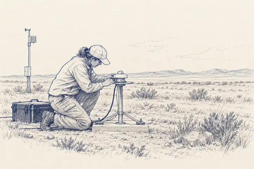
Then the ground station arrives anyway. The modeled sunlight has to be adapted to the site before money, insurance, and engineering decisions become comfortable. I find that sequence revealing. The satellite did not remove uncertainty. It made uncertainty cheaper to approach.
Construction monitoring works in a similar way. Repeat imagery can show whether earthworks advanced, whether a roadbed moved, whether a transmission corridor cleared, whether a dam project changed shape between visits. A lender can watch many projects without sending people to all of them. The visible world becomes an audit trail.
But a bridge can look complete before it is trustworthy. A grid can look mapped before it is resilient. A methane plume can be detected by an instrument like TROPOMI, and still the larger question remains: what is the system becoming under stress? Counting what is visible is useful. It is also a very particular kind of ignorance.
Climate TRACE pushes that single detection toward a global ledger. The coalition fuses data from more than 300 satellites and over 11,000 ground, air, and sea sensors through machine learning trained to attribute emissions to individual sources, tracking upward of 70,000 power plants, steel mills, and ships by name rather than by country-level estimate. A company buying steel can now ask which specific mill produced it with the lowest emissions, a question no self-reported national inventory could ever answer at that resolution.
COUPLED SYSTEMS
Systems with memory
Climate makes the problem harder because the planet remembers. A warm year does not vanish when the calendar resets. Heat enters oceans. Ice retreats. Forests dry. Permafrost thaws. The next state depends on the path into it.
Sea ice is a simple example until it stops being simple. Bright ice reflects much of the sunlight that reaches it. Dark ocean absorbs far more. Lose ice, expose water, absorb heat, lose more ice. The albedo numbers can be written cleanly on a page, but the lived system is not clean. It has thresholds, delays, feedbacks, and local exceptions.
IceNet pushes that same feedback loop into a forecast. Built by the British Antarctic Survey and the Alan Turing Institute, it is trained on thousands of years of climate simulations alongside decades of real observations, then predicts monthly sea ice concentration up to six months ahead at 25-kilometer resolution. In seasonal forecasts of summer sea ice, especially the extreme low years that matter most for shipping routes and wildlife, it has outperformed ECMWF's SEAS5, the physics-based model built to do exactly this.
GRACE and GRACE-FO made mass loss visible in a way ordinary images could not. They sensed tiny changes in gravity between paired spacecraft and turned ice sheets into measurements of weight. That is one of the most beautiful ideas in modern Earth science: weighing ice from orbit by feeling gravity shift.
And still I do not know what it means to understand the thing being weighed. If Greenland loses mass this year, what does that mean for a fishing season, a monsoon, an insurance model, a coastal city, a farmer deciding whether the old calendar can still be trusted? The measurement is planetary. The consequences are local. Something difficult lives in the conversion.
All models are wrong, but some are useful.George Box, statistician, 1978
FROM SIGNAL TO INFERENCE
Models that guess
AI makes the question sharper because it is very good at producing the feeling of understanding. A model can fuse multispectral imagery, radar, elevation, weather, labels, and historical events into an answer that arrives faster than any human analyst could produce one. Sometimes the answer is useful. Sometimes it is only fluent.
Foundation models trained on large Earth-observation archives have already shown real promise. They can transfer to flood mapping, land-cover classification, crop analysis, and change detection with less labeled data than older workflows needed. That matters. Sample efficiency is not decoration; it changes what small teams and under-mapped regions can attempt.
But I keep returning to the same discomfort. A model that generalizes across a benchmark may still be interpolating inside the world it has already seen. Fire risk in a new climate regime, crop stress under a strange monsoon, flood behavior after a city changes its drainage, these are not just new images. They are altered mechanisms.
This is where causal structure, physics-informed models, and invariant learning become interesting to me. Not because they sound more serious, but because they admit the weakness in pattern recognition. They ask whether the relationship still holds when the surface changes. I do not know how far that gets us. I only know that accuracy on yesterday's distribution is a fragile comfort.
We can only see a short distance ahead, but we can see plenty there that needs to be done.Alan Turing, 1950
A WORKING DEFINITION
What I mean by planetary intelligence
I do not want planetary intelligence to become another inflated phrase. If it means only more sensors, we already know how that story goes. If it means only larger models, we may only be scaling the same confusion. The phrase is useful to me only if it names a harder standard.
For now, I mean something narrow: a system that can sense change, carry some model of mechanism, update across domains, and support decisions before the event has fully announced itself. Not just flood mapping after water arrives. Not just crop stress after yield is already lost. Not just methane detection after the plume is visible. Something closer to a shared estimate of what the planet is in the middle of becoming.
The pieces exist in fragments: orbital sensors, gravimetric mass tracking, weather assimilation, causal fire models, hydrology, crop models, foundation models, human local knowledge, and the stubborn ground truth that keeps correcting everything from below. What I cannot yet see is the coupling. I cannot see where these fragments become trustworthy together.
That may be the first honest place to leave this note. Earth has become measurable in astonishing detail. I do not want to mistake that for comprehension. I want to stay with the harder question: what would it take for a system to understand a planet well enough that people would trust it before the proof arrives?
That's here. That's home. That's us.Carl Sagan, Pale Blue Dot, 1994
CHAPTER CONTENTS
FIELD NOTES
Where the doubt gets tested
Can We See a Fire Before It Burns?
Detection is getting faster. Prediction is still a different problem.
What Does a Satellite Actually Know?
A pixel is a measurement. Almost everything useful comes after it.
The Planet Has Memory
Why today's Earth is carrying yesterday inside it.
Can We Watch Plants Breathe?
A faint glow from leaves may change how we see the living planet.
The Species Nobody Had Time to Count
Camera traps and field recorders now produce more evidence of wildlife than any team could ever review by hand.