COSMICS · NOTE 001.3
The Planet Has Memory
Why today's Earth is carrying yesterday inside it.
EARTHVISION LAB · ~15 MIN READ
WHAT REMAINS
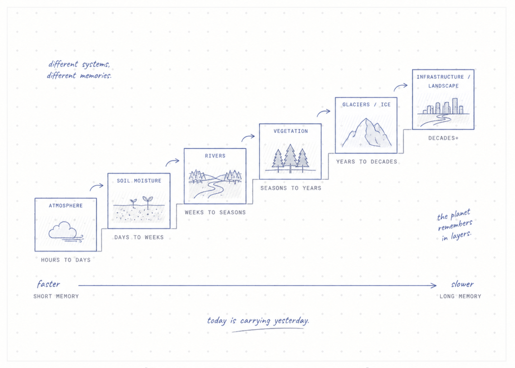
Rain can stop in an hour. The landscape does not reset in an hour.
Soil stays wet. Rivers remain high. Reservoirs hold what arrived upstream. A slope may remain unstable. Vegetation responds over days or weeks. Groundwater can keep moving long after the cloud that started the story has disappeared.
Earth has memory. Not memory in the human sense, but state. What happens next depends partly on what happened before.
SOIL
A dry week is not one thing
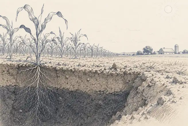
Take two farms under the same hot week. One entered the week after months of good rain. The other entered it after a long dry season. The weather is identical. The effect is not.
Soil moisture carries history forward. It changes how quickly plants become stressed, how much heat goes into warming the air and how much rainfall later becomes runoff instead of soaking into the ground.
A weather forecast describes what may arrive from above. A useful land forecast also needs to know what is already stored below.
GLACIERS
Ice remembers heat
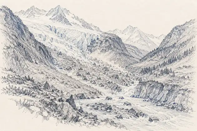
A glacier does not respond to one warm afternoon. Its shape reflects years of snowfall, melting, flow and fracture. Heat can weaken a system gradually before the visible change becomes sudden.
On 4 August 2026, a 76 square kilometre section of the floating tongue of Petermann Glacier in northwest Greenland broke away. Sentinel-1 observations had already shown deformation and fractures developing months before the calving event.
The dramatic image was the break. The story had been accumulating for much longer.
Three weeks later, the same problem became a disaster chain in Nepal. On 26 August 2026, a catastrophic debris flow began high in Langtang National Park. USGS reported that the initial mechanism was still uncertain — either a landslide that incorporated glacier ice or a glacial collapse — before ice, water and rock moved rapidly downslope into the river system.
The event was called a flood by the time it reached people, but rain was not the opening signal. A useful warning would have needed to connect glacier and slope movement, seismic activity, river state and downstream infrastructure before the visible scar made the sequence obvious.
LIVING MEMORY
Forests remember bad years
A tree can survive one dry season and still enter the next season weaker. It may have lost leaves, reduced growth or suffered damage to the water pathways inside its wood. Another hot year can then produce effects that look sudden but were prepared by the previous one.
This is one reason simple thresholds often fail. The same temperature does not mean the same thing every year. The forest arrives at that temperature with a different history.
A model that only sees today's weather can miss the vulnerability created by yesterday.
BUILT MEMORY
Cities remember our decisions
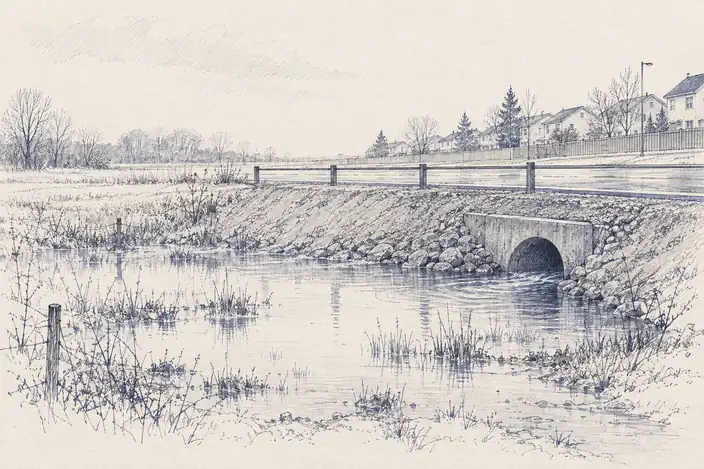
Human infrastructure stores history too. A road changes drainage. A reservoir changes sediment. A new neighbourhood replaces soil with concrete. A seawall moves wave energy somewhere else.
Years later, a flood or heatwave arrives and appears to be a natural event. The damage pattern is partly a record of older planning decisions.
This is why satellite archives are so valuable. They let us rewind the landscape. We can ask not only what failed today, but what changed over the previous ten or twenty years that made today's failure more likely.
THE COMPUTATION PROBLEM
Most models prefer a clean present
A model is easier to build when the present state can be described by a small set of variables. Temperature now. Rainfall now. Vegetation now. River level now.
Memory makes the problem larger. The model may need accumulated rainfall, previous drought, soil condition, land use change, past fires, glacier movement or reservoir operations. It may need to know which path brought the system to today's state.
The same place under the same weather can behave differently because it arrived there through a different past.
This is not only a machine learning challenge. It is a question about what history matters enough to keep.
LOOKING BACK TO LOOK FORWARD
The archive may be the real sensor
A satellite image is a snapshot. A long satellite archive is something else. It is a memory of coastlines, forests, cities, glaciers, farms and rivers changing over decades.
That archive may become more important as prediction systems improve. The question will shift from what does this place look like now to how did this place become what it is now.
If we want machines to understand Earth, perhaps the first thing they need is not a sharper eye. Perhaps they need a better memory.