COSMICS · NOTE 001.2
What Does a Satellite Actually Know?
A pixel is a measurement. Almost everything useful comes after it.
EARTHVISION LAB · ~14 MIN READ
START WITH THE SENSOR
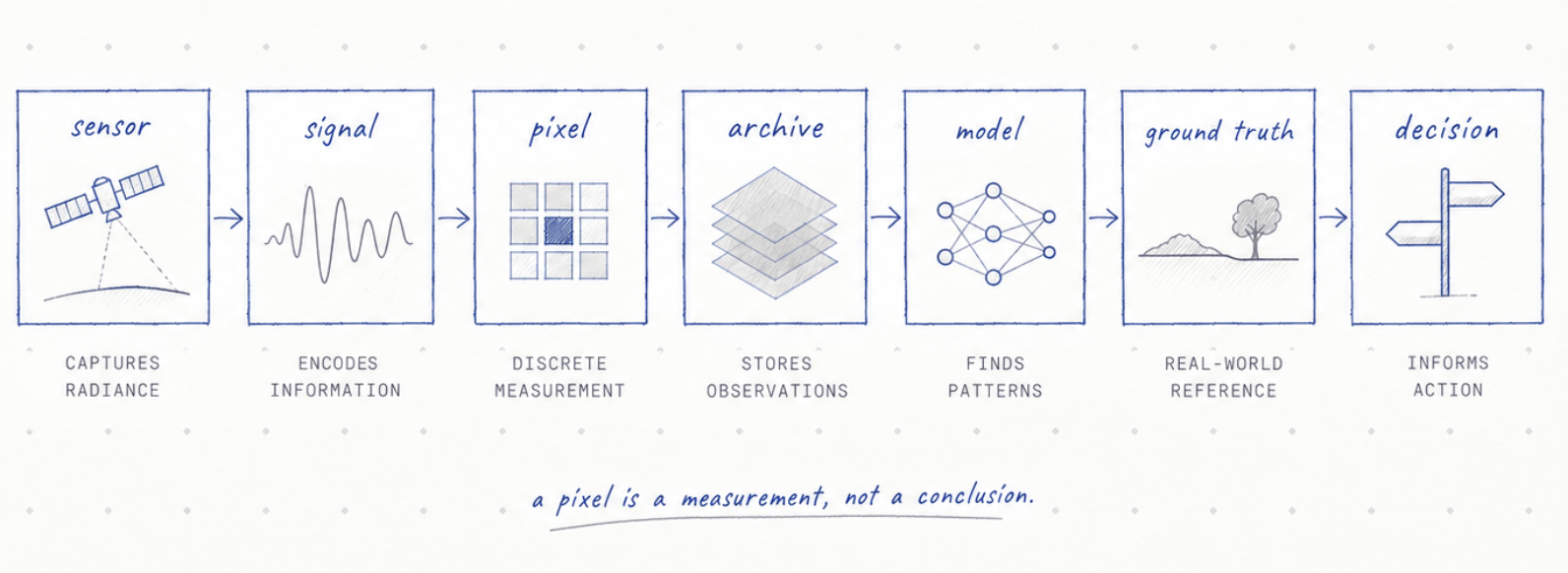
A satellite does not look down and see a forest, a farm, a flood or a city. It measures energy arriving at an instrument.
Some instruments measure reflected sunlight. Some measure thermal radiation. Radar sends out its own signal and measures what returns. Other missions measure gravity, height, atmospheric chemistry or tiny changes in the timing of radio signals.
The strange part is that almost everything we care about comes later. The forest is an interpretation. The crop type is an interpretation. The flooded house is an interpretation. Even a familiar satellite image has already been processed into something our eyes can understand.
FROM ENERGY TO IMAGE
Colour is already a model
A camera in orbit may record several ranges of wavelength that human eyes cannot see. Software then assigns those measurements to colours. A healthy plant may appear bright red in a false-colour image because near-infrared reflectance has been mapped into the visible range.
Nothing fake has happened. The measurement is real. The colour is a translation.
This distinction matters because satellite products can feel more direct than they are. A beautiful image looks like evidence from nowhere. In reality it is the end of a chain of calibration, correction, resampling and interpretation.
PROXIES
Then we invent useful shortcuts
NDVI is one of the most famous shortcuts in Earth observation. It combines red and near-infrared reflectance into a simple number that often tracks green vegetation. The number is useful because plants absorb red light for photosynthesis and reflect much of the near-infrared.
But NDVI is not plant health itself. A field can have the same index for different reasons. Soil background, canopy density, crop stage, atmosphere and sensor geometry can all change what the number means.
A proxy is powerful when we remember what it stands in for.
Earth observation is full of these proxies. They let us estimate things that would be impossible to measure everywhere by hand. They also create the temptation to confuse an estimate with the thing itself.
THE LABEL PROBLEM
AI inherits our definitions
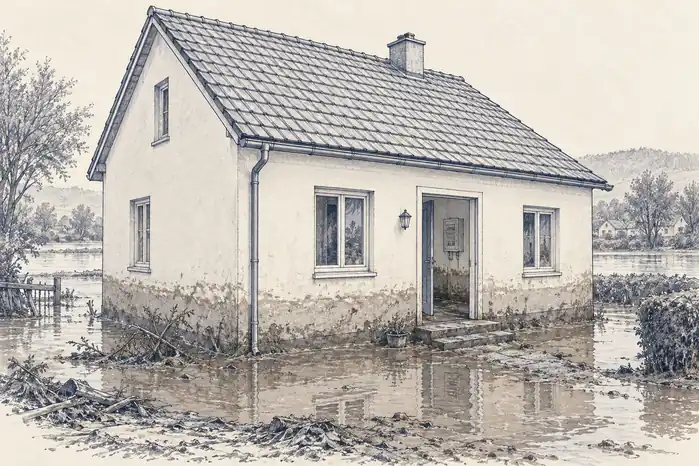
Suppose we train a model to find damaged buildings after a flood. Someone first has to define damage. Is a roof partly missing damaged? Is a house surrounded by water damaged? What about a building that looks intact from above but has lost its electrical system?
The model learns from those labels. If the labels are narrow, the model becomes excellent at a narrow idea of damage. If the training images come mostly from one kind of city, performance may fall somewhere else.
This does not make AI unreliable by default. It means the definition of truth has entered the system through human choices.
THE REFERENCE
Ground truth is not always truth either
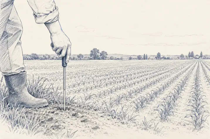
Satellite scientists often compare a remote measurement with something measured on the ground. The ground value becomes the reference. This is essential, but the phrase ground truth can sound more absolute than reality.
A soil sensor measures one small place. A field survey happens at one time. A farmer may describe a crop differently from an insurance assessor. A weather station can be kilometres away from the exact parcel being studied.
The ground is closer. It is not automatically complete.
ONE PIXEL, MANY WORLDS
Scale changes the answer
Imagine a pixel that covers part of a road, a tree, a roof and bare soil. The sensor records one combined signal. A model may still classify the pixel as urban land. At a broad scale that can be correct. At the scale of one household it can be useless.
This is why resolution is not just a number in metres. The right resolution depends on the decision. A one-kilometre temperature product can describe a regional heat pattern. It cannot tell you the temperature of one rooftop.
Better resolution helps, but it also creates more data, more noise and more temptation to claim precision that the underlying measurement does not support.
THE ANSWER
So what does the satellite know?
It knows what its instrument measured, within the limits of calibration, geometry, atmosphere and noise. Everything after that is inference.
That is not a weakness. Inference is how science works. We cannot drill into every glacier, measure every leaf or stand beside every river every hour. We build instruments, proxies and models because the planet is too large to inspect directly.
The important habit is simple: keep the measurement and the interpretation separate in our minds. Ask what was actually observed. Ask what was inferred. Ask what evidence would prove the inference wrong.
A satellite can tell us an extraordinary amount about Earth. It becomes more trustworthy when we are precise about what it never saw.