COSMICS · CHAPTER 6.6
Some Variables Exist Only as Inference
Root-zone moisture, evapotranspiration and carbon flux are often products of models constrained by observations, not direct measurements from orbit.
EARTHVISION LAB · ~15 MIN READ
OBSERVABLES AND STATES
A remote-sensing product can be named after a physical variable that the instrument never measured directly. Evapotranspiration, root-zone moisture, biomass, carbon flux and many other familiar layers are estimated from signals that respond to them indirectly, combined with models and auxiliary data. The final map is about the variable. The detector may have recorded radiance, brightness temperature, travel time or phase.
This distinction is deeper than the proxy argument from earlier volumes. The issue here is observability: whether the hidden state can be uniquely determined from the measurements available. In control theory and inverse problems, a system is observable when its internal state can be recovered from what can be measured. Earth is generous enough to provide many states that are only partially observable.
An inference can be excellent science. Weather analysis, ocean state estimation and satellite geophysical products depend on it. The problem begins when the lineage disappears and an estimated state is presented as though the instrument encountered it directly. A number can be precise without having been observed in the ordinary sense of the word.
OPENET
Evapotranspiration is water leaving without a meter
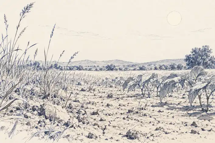
Evapotranspiration, or ET, is the transfer of water to the atmosphere through evaporation from surfaces and transpiration from plants. It is one of the most important terms in an agricultural water budget and one of the least convenient to measure continuously across millions of fields. There is no satellite instrument that simply counts the litres leaving each parcel.
Remote ET methods infer the flux from related quantities. Some use land-surface temperature and the surface energy balance: a well-watered, actively transpiring surface tends to spend more available energy evaporating water and therefore remains cooler than a dry surface under comparable conditions. Other methods use vegetation state, radiation, meteorology and empirical relationships in different combinations.
OpenET operationalizes this by running an ensemble of six established satellite-driven ET models rather than pretending one formulation owns the answer. The system provides field-scale estimates at 30-metre resolution across the western United States and broader U.S. coverage in current products. The input includes satellite observations, weather data and ancillary information; the output is an estimate of water consumption.
This is a useful example because the map looks exactly like any other geospatial layer. Each pixel has a number in millimetres. What sits underneath that number is an inverse calculation about an invisible flux. The water has left the field by the time the product names it.
FLUX TOWERS
The estimate becomes credible by meeting instruments on the ground
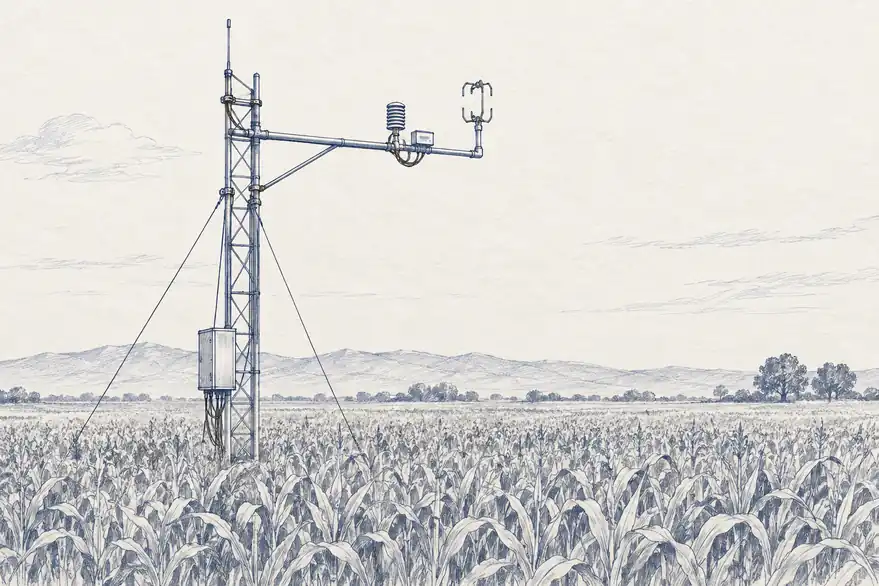
OpenET's models are evaluated against eddy-covariance flux towers, instruments that estimate exchanges of water vapour and energy by measuring rapid fluctuations in vertical wind and atmospheric properties above a site. The tower is local and expensive compared with a satellite map, which is precisely why it is useful as an independent reference rather than a global replacement.
A 2024 USGS-led assessment compared OpenET against 152 in-situ stations. At cropland sites, the ensemble's mean absolute error was 15.8 millimetres per month, about 17% of mean observed ET, with an r-squared of 0.9. Shrubland and forest sites showed greater disagreement among models and lower accuracy than croplands.
Those numbers make the epistemic structure visible. The field-scale map is not validated because a satellite saw evapotranspiration directly. It is validated because estimates built from remotely observed quantities agree sufficiently with independent flux measurements across many sites. The credibility lives in the relationship between systems.
It also means validation has geography. A model can be well tested over irrigated cropland and less constrained over forests, wetlands or unusual climates. A global-looking variable inherits the distribution of the places where somebody was able to build and maintain a reference instrument.
IDENTIFIABILITY
Different hidden worlds can produce similar measurements
The difficult version of an inverse problem appears when several internal states can produce nearly the same observation. A warm surface could reflect low soil moisture, sparse vegetation, unusual aerodynamic conditions or a change in available radiation. The measurement is real. The explanation is not uniquely encoded in it.
Hydrology calls a related problem equifinality: different combinations of parameters or processes can reproduce the same observed output. A model fitted to streamflow may match the river while getting the internal partition between infiltration, groundwater and evapotranspiration wrong. Good agreement at the outlet does not guarantee that every hidden reservoir inside the catchment is correct.
This is why additional modalities help. Surface temperature, microwave soil moisture, vegetation state, rainfall, flux towers and stream gauges constrain different parts of the same water balance. Each new observation removes some plausible hidden states. It rarely removes all of them.
The key question for a planetary system is therefore not only how accurate a layer is. It is how many different physical states remain consistent with the evidence that produced it. Two products with the same numerical error can have very different identifiability.
DIRECT, RETRIEVED, ASSIMILATED, MODELLED
Every geophysical layer needs an evidence lineage
A practical way to preserve the distinction is to record how far a quantity sits from the instrument. Some values are direct observables, such as a radiance or radar phase. Some are retrievals derived from an observation using an algorithm. Some are assimilated states produced by combining observations with a dynamical model. Others are forecasts or scenario outputs with no contemporaneous measurement at all.
The categories are not a quality ranking. A retrieved temperature may be more useful than raw radiance. An assimilated root-zone estimate can outperform a model with no satellite constraint. A forecast is indispensable precisely because the future cannot be observed yet. The lineage tells the user what sort of claim the number represents.
Volume 5 argued that uncertainty has to survive interfaces between models. Observability adds another field to that interface: evidence type. A downstream system should know whether its input was directly measured, retrieved from a signal, interpolated through a gap or generated by a model. Otherwise the entire pipeline can become very confident about a variable nobody ever actually saw.
The map may contain a value everywhere. Reality is under no obligation to have supplied a measurement for each one.