COSMICS · CHAPTER 6.1
The Ocean Has a Third Dimension
We map the ocean surface continuously while most of the water below it is sampled by a sparse moving network.
EARTHVISION LAB · ~15 MIN READ
A THREE-DIMENSIONAL PLANET
The ocean looks unusually well observed from a satellite. Sea-surface temperature, height, colour, roughness, ice and wind can all be measured globally or near-globally from above. The difficulty begins a few metres lower. An ocean is not a surface with water underneath. It is a moving volume whose temperature, salinity, oxygen, nutrients and currents vary with depth.
This matters because the surface is often responding to processes occurring far below it. Heat can be stored hundreds or thousands of metres deep. Dense water sinks. Nutrients rise. Currents move properties laterally through the interior. A satellite may observe the consequence at the top while the state that produced it occupies a column several kilometres high.
The ocean therefore exposes an awkward property of planetary observation: global coverage in two dimensions can coexist with sparse coverage in three. A map can look complete because every pixel has a value. That does not mean every layer below the pixel was observed.
THE BOTTOM
We still have not directly mapped most of the seafloor
In April 2026, the Nippon Foundation-GEBCO Seabed 2030 Project reported that 28.7% of the world's ocean floor had been mapped to modern standards. That is a remarkable increase from a few years earlier and still leaves more than two-thirds without modern direct bathymetric coverage.
The global maps are not blank in the remaining areas. Satellite altimetry measures tiny variations in sea-surface height produced partly by gravity from large features below. Those variations can be used to infer broad seafloor structure. NOAA describes the resulting bathymetry as low-resolution estimation that gives the overall shape but can miss smaller seamounts, volcanic craters, wrecks and other features.
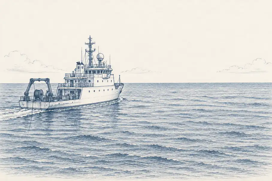
Modern high-resolution mapping usually requires multibeam sonar on a ship or vehicle. A transducer sends a fan of acoustic beams through the water and measures the time taken for echoes to return from the bottom. The method is direct enough to reveal individual landforms and expensive enough that the ocean has had no difficulty preserving large unmapped areas.
Depth makes the geometry worse. From a ship at the surface, the acoustic footprint grows with distance. NOAA notes that the deepest seafloor requires sonar closer to the bottom when very high resolution is needed, using towed instruments, remotely operated vehicles or autonomous underwater vehicles. The place furthest from the observer is also the place where detail is most costly.
ARGO
Four thousand floats made the upper ocean observable
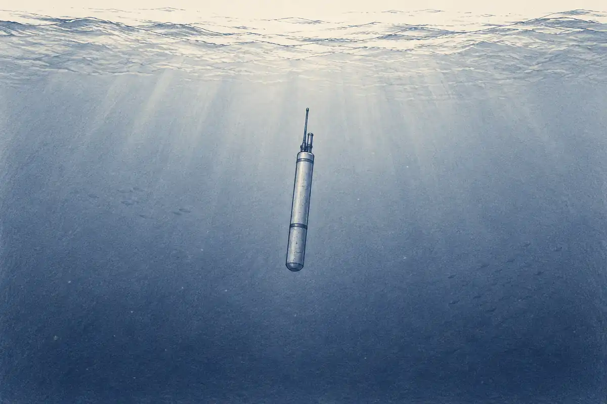
The interior ocean has its own observing system. Argo maintains roughly 4,000 autonomous profiling floats distributed across the global ocean. A standard float drifts at depth, descends and ascends through the water column, measures temperature and salinity, surfaces to transmit its profile, and repeats the cycle about every ten days.
Core Argo profiles to 2,000 metres. The array is spaced roughly one float per 3-degree box, about 300 kilometres apart in the open ocean, and produces more than 100,000 temperature and salinity profiles per year. Before Argo, subsurface measurements were far more concentrated along research cruises, commercial routes and fixed moorings. A drifting robot was an unusually effective answer to the problem that ships prefer not to occupy the entire ocean permanently.
Argo transformed oceanography because a sparse global array is enormously better than sparse opportunistic cruises. It also clarifies what global means in an observing system. A float samples one vertical line every ten days while currents, eddies and fronts evolve between floats. Ocean analyses fill the spaces using dynamics, interpolation and data assimilation. The resulting field is scientifically useful, but much of the field between observations is reconstructed rather than directly measured.
Even the array is not uniform. Argo's current status page notes regions that remain over-populated and others with gaps. Maintaining coverage requires deploying roughly 500 to 600 replacement floats each year. Global observation is not a completed asset. It is a machine that has to keep being rebuilt while the ocean moves underneath it.
DEEP AND BIOGEOCHEMICAL ARGO
Below two kilometres, the observing problem starts again
The original Argo design focused on the upper 2,000 metres because that is where much of the ocean's variability relevant to weather and climate is concentrated and because the engineering was tractable. The deep ocean did not become shallower in response. Deep Argo extends profiling to 4,000 or 6,000 metres using floats designed for the pressure.
A second extension changes what is measured rather than how deep. Biogeochemical Argo adds sensors for variables such as oxygen, pH, nitrate, chlorophyll, suspended particles and downwelling irradiance. Temperature and salinity describe the physical ocean. Those additional variables begin to describe metabolism, carbon chemistry and biological productivity.
Neither extension turns the ocean into a dense instrument. Deep floats are still a developing component of the global array, and biogeochemical sensors are more complex to calibrate and maintain than basic temperature and salinity instruments. Every extra property adds another measurement problem to a volume of water that was already inconveniently large.
The distinction matters when a model presents a continuous three-dimensional ocean. Some cells are constrained by recent profiles. Others are constrained by distant observations, physical equations and the model's prior state. The visualization is continuous because the mathematics requires a value everywhere. The evidence underneath it is not.
WHAT THE OCEAN TEACHES
A complete map can contain incomplete evidence
The ocean is a useful first blind spot because nothing about it is obscure in principle. We know how to measure depth with sonar, temperature with thermistors, salinity with conductivity sensors and many chemical properties with dedicated instruments. The limitation is coverage in space, depth and time.
That makes the ocean different from a variable that is impossible to observe directly. Here the hidden state is measurable, just not everywhere at once. The practical system therefore combines direct measurements with interpolation and models. This is not a compromise unique to oceanography. It is the normal architecture of planetary knowledge.
The mistake comes later, when a continuous product is consumed without its observation geometry. A temperature field with no visible gaps can make one heavily sampled region and one model-dominated region look equivalent. They are not. The values may be equally shaped on the screen while carrying very different amounts of evidence.
The ocean is not poorly observed because we forgot it was there. It is poorly observed because three dimensions are considerably more expensive than two.