COSMICS · CHAPTER 3.4
The Pixel Changed What a Place Was
Rasterization redefined a location as a cell in a grid, and everything smaller than the cell stopped existing.
EARTHVISION LAB · ~13 MIN READ
RASTERIZATION
A raster is a grid of cells, each holding one value. Laying that grid over a landscape converts an unbroken surface into a finite list, which is the single move that made Earth computable at scale. It is also an explicit statement that anything smaller than one cell is not a thing the data can see.
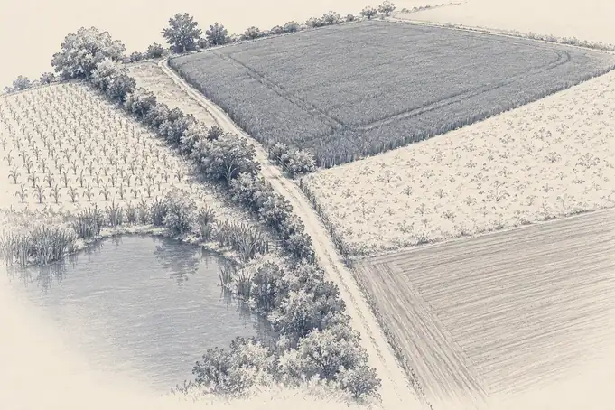
A Landsat pixel covers 30 meters on a side, about 900 square meters, roughly a fifth of a soccer pitch. Whatever is inside it, a hedgerow, a farm track, a pond, three different crops, gets averaged into one number per spectral band. The average is real. The hedgerow is gone.
SPECTRAL BANDS
A pixel is several measurements stacked in the same place
The value in a cell is not a color. It is the amount of energy that came back to the sensor in a specific range of wavelengths, and satellites record several ranges at once. Sentinel-2's imager carries 13 such bands, from about 443 to 2,190 nanometers, at 10, 20 and 60-meter resolutions depending on what each band is for. The pixel is therefore a small stack of independent numbers describing the same patch of ground.
That stack is what makes materials separable. Healthy vegetation reflects strongly in near-infrared and absorbs red, because chlorophyll and leaf structure behave differently at those wavelengths. Water does close to the reverse. A single-band photograph cannot reliably tell them apart. A multi-band measurement can, which is why almost every land product in this book is built on band arithmetic rather than on pictures.
Indices like NDVI, which compares red and near-infrared reflectance, are one step further removed again: a ratio computed from the stack after the fact. Useful, compact, and lossy in its own right, because the ratio hides which of the two inputs moved.
TIME SERIES
The same cell, revisited, becomes a different kind of object
One raster is a snapshot. The same grid re-measured on a schedule is something categorically different: every cell acquires a history, and the dataset stops describing a place and starts describing a process. Landsat returns to the same ground every 16 days. Sentinel-2's paired satellites manage 5. MODIS covers the globe roughly twice a day at coarser resolution.
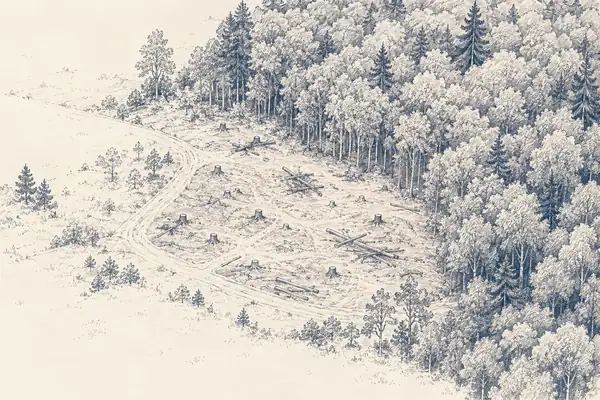
Once a cell has a history, questions change shape. Not what is growing here, but when did it green up this year compared to the last twenty. Not is this forest present, but on what date did it stop being forest. The second kind of question is the one that supports detection of change, and it exists only because someone kept the grid fixed and kept coming back.
This is also why grid stability matters more than grid resolution for long records. A sharper sensor that redefines the cell boundaries breaks comparability with everything that came before it, which is the practical reason satellite programs are so conservative about changing their geometry.
THE LOSS
What the grid decided not to represent
Rasterization assumes that space is the right thing to divide, evenly, into equal boxes. That works well for continuous surfaces like temperature or reflectance. It works badly for anything defined by its edges or its connectivity: a river is a line, a road network is a graph, a property boundary is a polygon with legal meaning, and an animal's territory is none of those things.
That mismatch is why the next chapters exist. Vectors, coordinates, identities and tracks are all attempts to represent the parts of Earth that a grid of averages cannot hold, and each one required its own agreement about what to keep.