COSMICS · CHAPTER 3.9
The Planet Became a Database
Almost anything on Earth can now have an identity, a position, a state and a history. That is a new condition, not a better map.
EARTHVISION LAB · ~13 MIN READ
THE RESULTING STRUCTURE
Put the previous eight chapters together and a structure emerges that nobody designed. Rasters hold continuous surfaces: temperature, reflectance, elevation. Vectors hold discrete things with edges: a field boundary, a river centerline, a protected area. Graphs hold connection: a road network, a power grid, a migration corridor. Event streams hold things that happen at a moment: a lightning strike, a vessel position, a deforestation alert.
Almost every planetary dataset in existence is one of those four, or a join between them. That is what it actually means to say Earth became computable. Not that we understand it, but that we agreed on a small number of shapes and forced the world into them.
IDS AND STATE
The quiet requirement is a persistent identifier
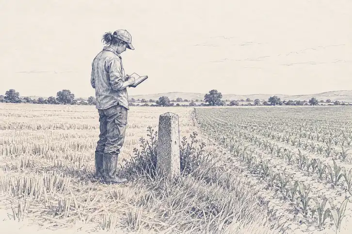
For any of this to compound, the same thing has to be recognizable across observations. A field needs a stable identifier so this year's yield attaches to last year's soil test. A vessel needs one so a track is a voyage rather than a scatter of points. A whale shark needs one so twenty sightings become a life history rather than twenty animals.
Identity is what turns a measurement into a state that can be updated. Once a thing has an ID, a position, a current state and a history, it stops being an observation and becomes an entity the system can reason about, which is exactly the precondition for everything Volumes 4 and 5 attempt.
This is also the least standardized part of the whole stack. There is no universal way to say this is the same forest as before, and enormous amounts of practical work in Earth data is spent reconciling identifiers between systems that each invented their own.
WHERE THE DATA LIVES
The archive outgrew the ability to download it
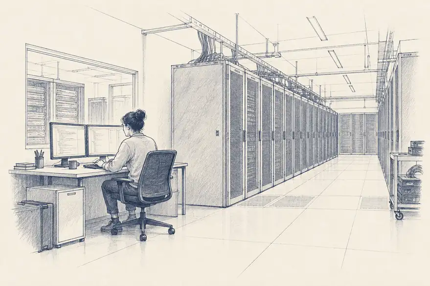
For most of this history, using data meant obtaining a copy. That model broke when archives reached a scale where transferring them was slower than analyzing them. The response was to invert the arrangement: leave the data where it is and send the computation to it, which is how planetary-scale analysis is now routinely done.
That inversion has a consequence worth stating plainly. Whoever hosts the archive and provides the compute shapes what questions are cheap to ask. Free and open data policies, the ones Landsat and Copernicus fought for in Volume 2, solved access to the measurements. They did not by themselves solve access to the ability to process them at scale.
WHERE THIS LEAVES US
Machine-readable is not the same as understood
The transformation this volume followed is genuinely finished in one sense. A planet whose rivers, soils, animals, harvests, vessels and cities all carry identifiers, coordinates, states and histories is a different object than the one Aristotle was trying to reason about, and the difference is not incremental.
It is also, on its own, inert. A database of everything that has happened contains no claim about what happens next. Every lossy choice this volume catalogued, the averaged pixel, the narrowed standard, the coordinate with false precision, the instrumentation gap where nobody could afford sensors, is still sitting inside the record, and the next volume feeds all of it into equations that assume the numbers mean what they say.
That is the honest handoff. Earth became machine-readable first. Whether it became calculable is the question Volume 4 opens with, and the answer starts with a Norwegian physicist who thought weather was just an initial value problem.