COSMICS · CHAPTER 4.3
Water Never Stays Where We Measure It
Rain, runoff, soil water, groundwater and rivers share one substance and several incompatible clocks.
EARTHVISION LAB · ~14 MIN READ
THE MODELLING PROBLEM
Rain falls in minutes. Runoff crosses a slope in hours. A river carries the pulse for days. Soil stores part of it for weeks or months. Groundwater may keep another part for decades. Hydrology has to predict all of these at once, which is an inconvenient amount of scheduling for one molecule.
The difficulty is not only time. Water changes behaviour according to the material it meets. The same rainfall can infiltrate, pond, evaporate, freeze, run off, recharge an aquifer or enter a storm drain. The forecast therefore depends on the state of the catchment before the rain arrives.
RUNOFF AND ROUTING
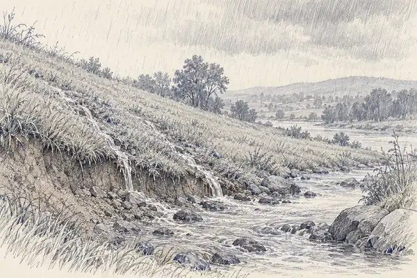
The catchment decides what rainfall becomes
Hydrological models represent infiltration, soil storage, evapotranspiration, groundwater exchange and channel routing with different levels of physical detail. The equations are familiar. The parameters are the trouble. Soil depth, hydraulic conductivity, channel roughness and subsurface connectivity vary sharply over distances that are rarely measured densely.
Calibration handles part of this by adjusting uncertain parameters until simulated flow resembles observed flow at gauges. That makes the model useful and gives it a specific dependence on history. Change the catchment with pavement, drainage, irrigation, dams or vegetation loss and the calibrated relationship can age faster than the software does.
Snow adds another reservoir. A snowpack is precipitation delayed, with release controlled by temperature, radiation, dust, elevation and aspect. Forecasting the river then means forecasting when stored water decides to become moving water.
DATA-DRIVEN HYDROLOGY
Learning river behaviour from many rivers
A data-driven alternative learns the mapping from weather and catchment characteristics to river response directly from historical records. Google's global flood-forecasting work uses this approach across large collections of basins rather than building a separately calibrated model for every river.
By 2024, Google reported a model with 7-day lead-time reliability comparable to strong nowcasts in 100 countries with verified data, with additional coverage based on virtual gauges extending farther. The interesting capability is transfer: information learned from gauged catchments can improve forecasts where direct river observations are sparse or absent.
Transfer is also the risk. Two catchments can look similar in the training data and behave differently because of geology, reservoir operations or drainage infrastructure the model never represented. The learned model is faster to extend than a bespoke basin model. It is not exempt from local physics.
GROUNDWATER
The slow reservoir underneath the forecast
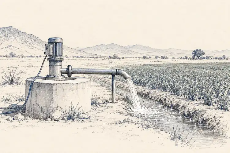
Groundwater is the awkward end of hydrology because it is slow, mostly invisible and heavily altered by pumping. A river forecast can be checked against a gauge tomorrow. An aquifer forecast may take years to reveal whether recharge, extraction and subsurface flow were represented correctly.
That long memory can improve prediction when it is measured well. It can also preserve error for a long time. A model that begins with the wrong groundwater state does not necessarily correct itself after the next storm. The mistake can sit underground, waiting patiently for a dry year.
Hydrology therefore exposes a general rule of prediction: the future is not determined by the forcing alone. It depends on hidden state carried forward from the past, and the least visible reservoirs are often the ones that make the longest forecasts possible.