COSMICS · NOTE 002.8
MODIS and the Age of Daily Planetary Measurement
Two satellites, three hours apart in local time, made a sixteen-day wait feel obsolete.
EARTHVISION LAB · ~13 MIN READ
DAILY REFRESH
The Moderate Resolution Imaging Spectroradiometer, MODIS, flew twice: once on Terra, launched 18 December 1999, and again on Aqua, launched 4 May 2002. Terra crosses the equator heading south at 10:30 in the morning. Aqua crosses heading north at 1:30 in the afternoon. Between the two, most of Earth gets photographed twice a day, a frequency Landsat's 16-day cycle was never built to match.
THE FREQUENCY ADVANTAGE
A wide swath traded detail for something Landsat could not offer
MODIS images a 2,330-kilometer swath in 36 spectral bands spanning wavelengths from 0.405 to 14.385 micrometers, at resolutions of 250, 500, or 1,000 meters depending on the band. That swath is more than twelve times wider than Landsat's 185 kilometers, wide enough that MODIS covers nearly the entire planet within one to two days rather than sixteen.
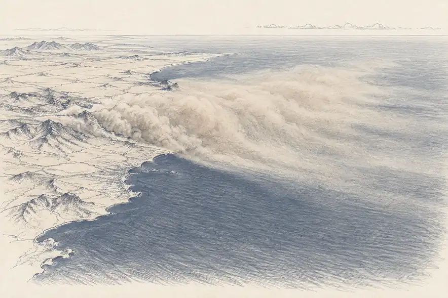
The resolution paid for that reach: even MODIS's sharpest band cannot match Landsat's 30 meters. But for processes that unfold over hours or days rather than weeks, resolution was never the binding constraint. A wildfire's edge moving overnight, a dust plume crossing an ocean, a river swelling after a storm: none of these need 30-meter precision. They need to be seen again tomorrow.
Daily coverage also let researchers separate real change from noise simply by demanding it show up twice. A single day's anomaly might be a sensor artifact or stray cloud shadow. The same anomaly confirmed on the following day's pass is something else, a distinction Landsat's 16-day gap made far harder to draw with confidence.
RAPID RESPONSE
Fire detection stopped depending on someone reporting it
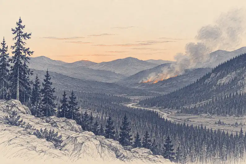
MODIS detects fire through thermal infrared bands sensitive enough to register a burning area covering only a fraction of a single pixel's footprint as a distinct thermal anomaly against the surrounding ground. NASA's automated processing pipeline turns that anomaly into a global active-fire map within hours of the satellite pass, not weeks later in a research paper.
Before this, fire monitoring depended on ground observers reporting what they could see and periodic aerial surveys filling the gaps between. A fire could grow for days before anyone with the authority to respond had a reliable picture of its extent.
Two passes a day changed that math directly. A fire igniting in a remote area can appear on a MODIS fire product before nightfall, well before smoke would be visible to anyone beyond its immediate vicinity, turning fire response from something that starts after a phone call into something that starts after an automated map updates.
THE AUTOMATION IT FORCED
Two terabytes a day meant no person could check the output by hand
MODIS generates roughly two terabytes of raw data daily, an amount no team of analysts could calibrate, georeference, and interpret by hand on a useful timescale. NASA built automated processing pipelines that turn raw sensor output into finished products, vegetation indices among them, within about a day of acquisition, without a person reviewing each scene.
That automation was a requirement, not a convenience. But it produced a side benefit nobody had specifically asked for: consistency. An automated pipeline calculates a vegetation index the same way every single time, on the millionth scene as on the first, with none of the drift that creeps into any process a person repeats by hand for twenty years.
The tradeoff is that nobody is looking at any individual scene before it becomes part of the record. Errors that would be obvious to a trained eye can persist in an automated output until a validation study catches them later, a cost daily global coverage has always carried quietly alongside its benefits.
THE NEW EXPECTATION
Daily coverage reset what counted as an acceptable wait
After two decades of MODIS, a satellite that returned to the same location every 16 days started to feel slow, even though Landsat's cycle had been the standard for the entire prior generation of Earth observation. The baseline had simply moved.
Commercial operators built their entire pitch around beating even MODIS's frequency: Planet's Doves promise imagery of the same location daily, at far sharper resolution than MODIS manages, by using dozens of satellites rather than two. The comparison only makes sense because MODIS had already normalized the idea that daily was the correct cadence to compare against.
What MODIS actually demonstrated, underneath the frequency, was that a single well-calibrated instrument flown for twenty-plus years produces something a series of different instruments cannot easily replicate: one continuous, internally consistent record of how vegetation greenness, snow cover, and ocean color have shifted, decade over decade, without the cross-calibration problem that Landsat's nine different sensors had to solve after the fact.
THE HANDOFF
MODIS is already being succeeded, deliberately
Terra and Aqua are decades past their planned mission life, and NASA built their successor before either failed rather than after. VIIRS, the Visible Infrared Imaging Radiometer Suite, has been flying since 2011 on the Suomi NPP satellite and since on NOAA-20 and NOAA-21, with 22 bands against MODIS's 36 but a wider swath and sharper spatial resolution in several of them.
Fewer bands would normally mean a step backward. NASA and NOAA instead built continuity products, shared algorithms applied to both instruments, so that a snow-cover or fire-detection time series can cross from MODIS to VIIRS without the kind of discontinuity Landsat's sensor generations required years of calibration work to avoid. The lesson MODIS taught Landsat about repeatable measurement is the same one NASA applied when it planned MODIS's own retirement.
Terra
10:30 AM · descending
Aqua
1:30 PM · ascending
VIIRS
2011– · planned successor
Built before either satellite failed, not after.