COSMICS · NOTE 002.5
Three Space Economies in One Sky
Earth observation, navigation, and communications share the same orbits and want opposite things from them.
EARTHVISION LAB · ~12 MIN READ
THREE SIGNALS, THREE ORBITS
Look up, and three entirely different businesses are sharing the same sky. One photographs the ground. One tells a phone where it is. One carries a video call. None of them chose their orbit for convenience. Each was pushed to a specific altitude by what its signal physically needs to do.
EARTH OBSERVATION
Observation needs to be close
A camera or radar resolving fine ground detail gets more signal for a given aperture the closer it sits to its target, which is why Landsat, Sentinel-1, Sentinel-2, and nearly every optical imaging satellite fly in low Earth orbit, typically 500 to 800 kilometers up. Proximity is the entire reason 10-to-30-meter pixels are possible at all from a modestly sized instrument.
The tradeoff is that a LEO satellite is only overhead briefly, which is why Earth observation missions live and die by revisit time, the gap between one usable pass and the next. Every design choice in this chapter, sun-synchronous timing, twin-satellite phasing, proliferated constellations, exists to manage that one constraint.
GPS AND GALILEO
Navigation needs to be everywhere at once
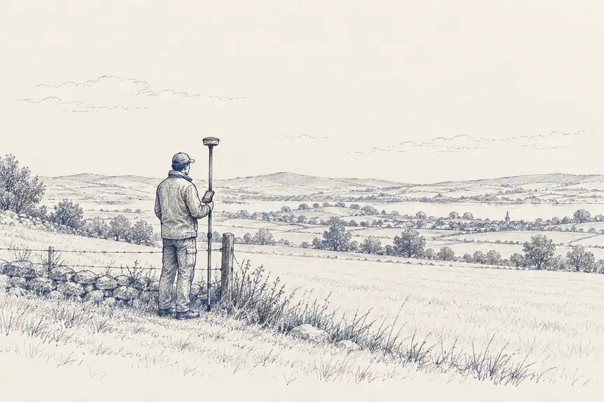
GPS and Europe's Galileo occupy medium Earth orbit, around 20,000 to 23,000 kilometers, an altitude Earth observation satellites almost never use. A receiver on the ground calculates its position by measuring how long a signal took to arrive from several satellites at once, a process called trilateration, which only works if enough satellites are visible above the horizon simultaneously from nearly anywhere on the planet.
That requirement is what pushes navigation satellites to MEO rather than LEO. Too low, and each satellite covers too small a patch of sky and moves too fast across it to maintain a stable geometric fix. Galileo's constellation, distributed across three orbital planes, keeps six to eight satellites visible from most locations at any moment, delivering positioning accurate to roughly 20 centimeters horizontally as of 2025. It is a timing and geometry problem, not a photography one, solved at a completely different altitude than imaging.
SATELLITE INTERNET
Communications used to mean staying still, then stopped
The first satellite internet systems used geostationary satellites at 35,786 kilometers, the same orbit weather satellites use, for the same reason: a fixed ground antenna can point at one spot in the sky permanently. The cost was latency. At that distance, the round trip for a signal takes long enough to impose 600-to-700 milliseconds of lag, noticeable in anything interactive.
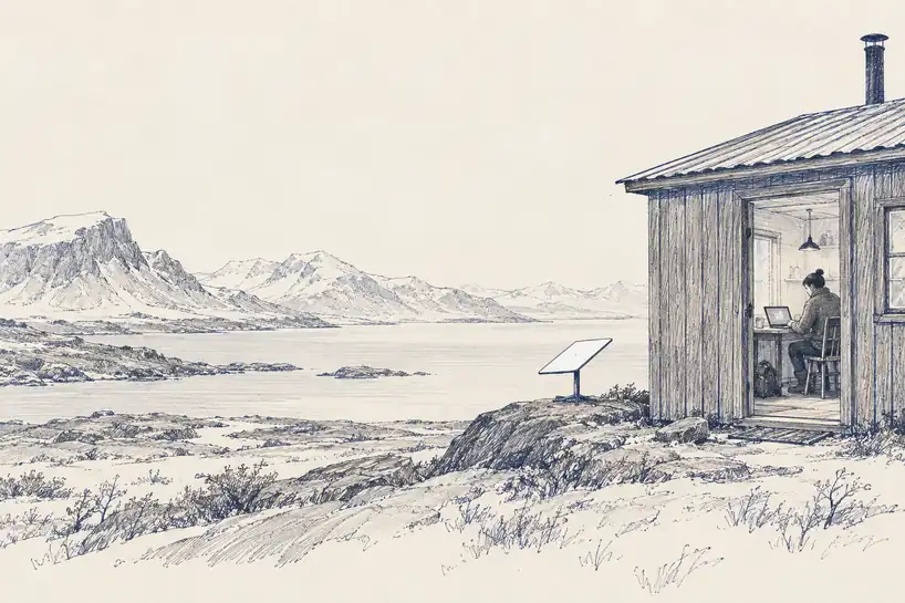
Starlink inverted the tradeoff by moving to low Earth orbit, 340 to 570 kilometers, roughly a sixtieth of the distance, cutting latency to 25-to-60 milliseconds, comparable to cable broadband. The price is that no single LEO satellite can cover a fixed patch of ground the way a geostationary one does, so the system needs thousands of satellites handing a connection off between them continuously rather than one satellite holding still. It is the same proliferated-constellation logic Earth observation would later borrow for revisit time, arrived at independently to solve a completely different problem: not how often you can see a place, but how fast you can talk to it.
WHY THEY DO NOT COMPETE
The sky sorted itself by what each signal needed
Earth observation, navigation, and communications do not compete for orbital slots because they were never really after the same one. Imaging wants proximity. Navigation wants geometric coverage from a stable, predictable altitude. Communications used to want a fixed point in the sky and now, chasing latency, wants proximity too, which is the one place two of these three economies now genuinely overlap.
That overlap is recent, not original. It exists because Starlink discovered that LEO's drawback for single-satellite coverage, the same drawback Earth observation has always lived with, stopped mattering once launch got cheap enough to fly thousands of satellites instead of a few dozen. The economics that unlocked cheap communications constellations are the same ones that unlocked cheap imaging constellations, which is where this history goes next.
Proximity
Needs detail up close
Geometric coverage
Needs many angles at once
Persistence
Needs to stay put
Landsat, Sentinel
LEO · 500-800 km
GPS, Galileo
MEO · 20,000+ km
Early satellite TV
GEO · 35,786 km
Starlink
LEO · 340-570 km, chasing proximity
Starlink is the one point that moved.