COSMICS · NOTE 002.3
The Agencies That Built the Viewing Machine
Five space agencies, five different reasons to look down, one accidental shared system.
EARTHVISION LAB · ~16 MIN READ
THE DISTRIBUTED SYSTEM
NASA, NOAA, the USGS, ESA, ISRO, JAXA, and China's civil space program have each launched Earth observation satellites for different reasons, under different mandates, answering to different budgets. None of them set out to build a shared global system. It emerged anyway, mostly because enough of them, independently, decided their data should be public.
THE SCIENCE MANDATE
NASA builds pairs of satellites to ask specific questions
NASA's Earth observation satellites are built to answer research questions, not to run a service. Terra launched on 18 December 1999, Aqua on 4 May 2002, and both were deliberately timed three hours apart in local crossing time so the same instrument, MODIS, could measure the same location twice a day rather than once.
That mandate gives NASA room to ask what can be learned rather than what must be delivered on schedule. It is also why NASA satellites are not the ones a country relies on for tomorrow's forecast, a job split off to a different agency entirely.
THE COMMERCIALIZATION EXPERIMENT
The government handed Landsat to a company, then had to take it back
In 1985, under the Land Remote-Sensing Commercialization Act, operation of Landsat was handed to a private company, the Earth Observation Satellite Company, EOSAT. The idea was that a commercial operator, selling imagery, could run the program more efficiently than the government.
It did not work. EOSAT and NOAA, left with two aging satellites and no operational budget to replace them, planned to shut Landsat 4 and 5 down by 1989. Congress objected, and Vice President Dan Quayle, chairing the National Space Council, intervened directly to keep both satellites flying until a successor could launch.
The USGS eventually took the archive back and, in 1991, cut the price of a scene to $600, still enough to keep casual use rare. On 21 April 2008, it made all Landsat data free. Downloads jumped from roughly 53 scenes a day to 5,775 almost overnight, and by 2017 annual downloads stood at 20 times their 2009 level.
The archive is just going to continue to yield good information, good science, better management, reduced costs.Researcher, Rochester Institute of Technology, on the 2008 free-data policy
THE EUROPEAN ALTERNATIVE
Europe built its own system rather than depend on America's
Europe's answer to the 1989 near-shutdown was not to wait and see whether it happened again. What became Copernicus traces to the Baveno Manifesto, signed in 1998 by the European Commission, Europe's space agencies, and EUMETSAT, initially under the name Global Monitoring for Environment and Security. It was renamed Copernicus in 2012.
Copernicus adopted a full, free, and open data policy that goes further than Landsat's: not just free to download, but explicitly unrestricted for any use, commercial included. The point was not to undercut Landsat's price, which was already zero by then. The point was to make sure a comparable, independently controlled record existed at all.
ISRO
India built remote sensing around a working economy, not a Cold War
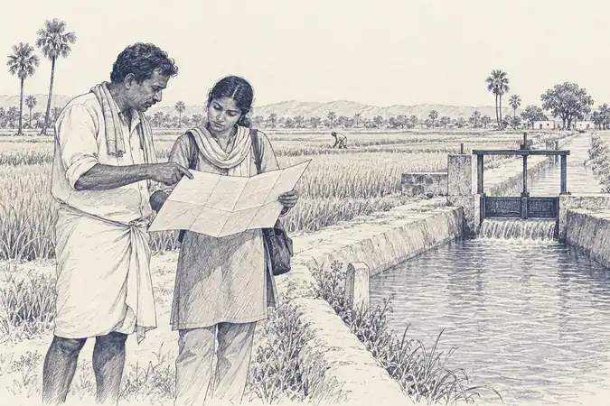
India's space program traces to 1962 and the physicist Vikram Sarabhai, and was formalized as ISRO in 1969. Its founding logic was explicitly economic rather than military or purely scientific: a developing country, Sarabhai argued, could not afford to skip space technology if it helped manage water, crops, and land more efficiently than anything already available.
That logic produced the Indian Remote Sensing series starting with IRS-1A in 1988, followed by the Cartosat mapping satellites from 2005 and the Resourcesat agricultural series. India built its own Earth observation program not to compete with the United States or Europe on prestige, but because irrigation planning, crop forecasting, and disaster response were problems its government needed solved regardless of what anyone else was flying.
JAXA
Japan merged three agencies to build one land-observing satellite
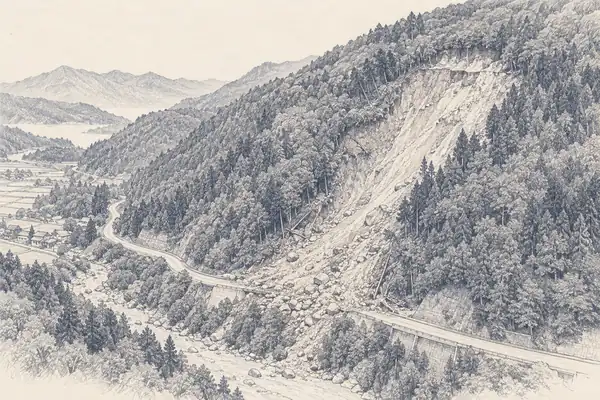
JAXA formed on 1 October 2003 from the merger of three separate Japanese space and aeronautics organizations. Its flagship Earth observation satellite, ALOS, known as Daichi, launched in January 2006 carrying three instruments at once: a stereo-mapping camera, a visible and near-infrared radiometer, and an L-band synthetic aperture radar.
Carrying optical and radar instruments on the same platform was a deliberate choice, aimed squarely at disaster response in a country that deals with earthquakes, typhoons, and landslides on a recurring basis. Where Landsat and Copernicus split optical and radar across separate missions, ALOS treated the two as a single disaster-monitoring tool from the start.
CHINA'S CIVIL PROGRAM
China built its own high-resolution system in a single decade
China's civilian Earth observation program, the China High-resolution Earth Observation System, was proposed in 2006 and became a national science and technology priority in 2010. Its Gaofen series, meaning high resolution, began with Gaofen-1 in April 2013 and had grown to dozens of satellites within a decade, run through the China National Space Administration.
The pace of that buildout has no real precedent among the other agencies in this chapter, most of which took decades to reach comparable satellite counts. It reflects a program built later than NASA's, ESA's, or ISRO's, with the advantage of not having to invent the underlying sensor technology from scratch, only decide how many satellites to fly with it.
USA
NASA/NOAA/USGS · science + operations
ESA
Baveno 1998 · independence
ISRO
1969 · economic development
JAXA
2003 · disaster response
CNSA
2010 · rapid buildout
Five reasons to look down, one accidental shared system.