COSMICS · NOTE 002.1
Why We Started Watching Earth From Space
One program watched for missiles. A dying geologist argued for watching farms instead.
EARTHVISION LAB · ~13 MIN READ
LOOKING DOWN
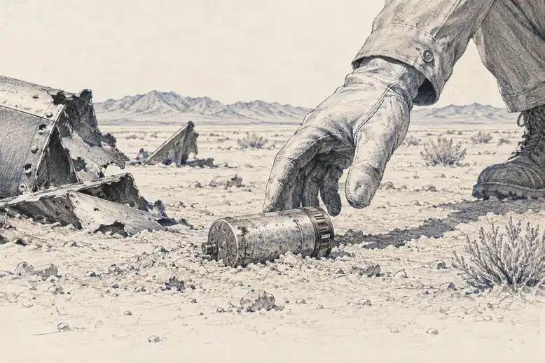
On 24 October 1946, a 35mm camera bolted to a captured German V-2 rocket rose from White Sands, New Mexico, and fell back to Earth four minutes later. Between those two moments it reached roughly 105 kilometers and took the first photographs showing Earth's curvature. The rocket smashed into the desert. The film survived in a steel cassette built to outlive the impact.
THE COVER STORY
The program built to watch an enemy
Fourteen years later, the United States had a satellite doing the same thing on purpose. It was called Corona, though the public name was Discoverer, described at the time as a scientific research program. In reality it was an Air Force reconnaissance system, developed under a project designation, tasked with photographing Soviet missile sites, airfields, and submarine yards from orbit.
Secrecy was the point, not a side effect. If the Soviet Union had known that American satellites were photographing its military installations in usable detail, it would have hidden or moved them. The cover story bought Corona years of uninterrupted collection.
But a camera in orbit cannot choose to see only military targets. Whatever passes beneath the orbit gets photographed: farmland, coastline, forest, city. The same optics that resolved a missile silo also resolved a wheat field. Nobody had designed Corona to study agriculture. It could not avoid doing so.
THE RETURN PROBLEM
Getting the film back was the harder problem
Corona had no way to transmit images electronically. The film had to come back physically, which meant solving a problem nobody had solved before: recovering a small object falling from orbit before it either burned up or was lost at sea.
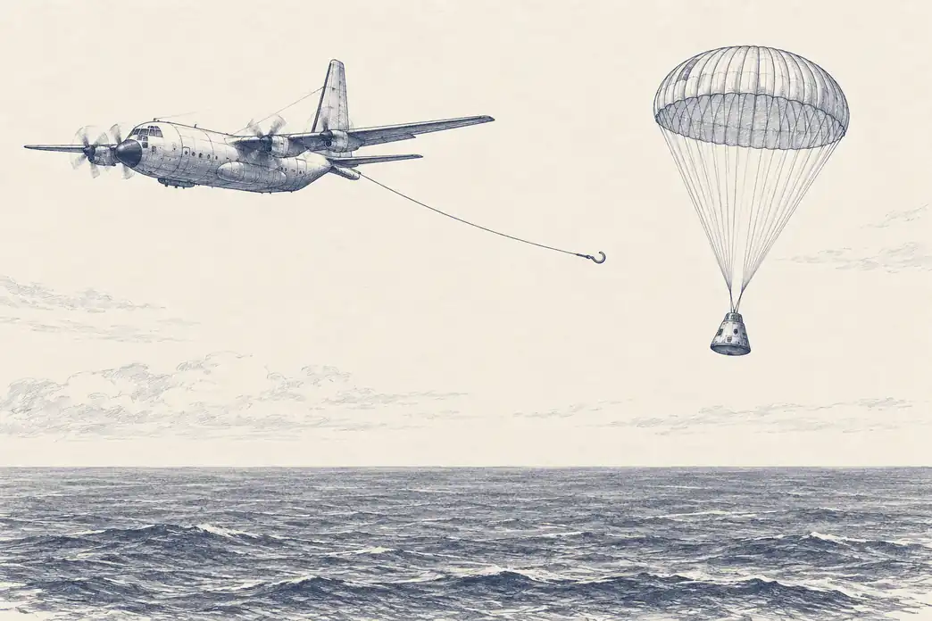
Engineers at General Electric built a reentry capsule nicknamed the film bucket. A heat shield protected it through the worst of reentry, then separated at around 60,000 feet once the heat had passed. A parachute opened. An Air Force plane, trailing a hook, was supposed to catch the capsule in midair before it touched the ocean.
The first twelve attempts failed. Rockets exploded. Capsules were never found. It was not until Discoverer 14, in August 1960, that a plane successfully snagged a Corona capsule out of the sky, carrying a KH-1 camera and about 20 pounds of film. That single recovery proved that photographing the Earth from orbit and getting the results home again was possible at all.
THE UNLOCKED ARCHIVE
What thirty-five years of secrecy had actually recorded
Corona kept flying missions into the early 1970s. On 22 February 1995, an executive order declassified the imagery from Corona and two related programs, Argon and Lanyard. More than 860,000 images, spanning 1960 to 1972, became public.
For a program built entirely around Soviet military targets, the release turned out to hold something else of value: an accidental record of the entire Earth at a scale nobody had thought to photograph systematically for civilian purposes. Glaciers, rivers, farmland, and forests from a decade before anyone was tracking them scientifically were suddenly available for comparison against the present.
The lesson embedded in that outcome mattered more than the images themselves. A camera pointed at Earth does not know what its operator intends. It records everything in its field of view. What made Corona's archive useful decades later was not planning. It was the simple fact that the images existed and had been kept.
THE CIVILIAN CASE
A geologist argued for pointing the camera at everyone
While Corona operated in secret, William Pecora, director of the U.S. Geological Survey, was making a different argument in public. Nations needed satellite observation of Earth's resources, he said, and that observation should not be classified or limited to intelligence agencies.
The course seems clear; we must make and execute bold plans to gather data on the Earth's resources, and to accelerate the search for natural resources.William Pecora, USGS Director, 1966
Pecora convinced Interior Secretary Stewart Udall to announce Project EROS, the Earth Resources Observation Satellite program, in a press release on 21 September 1966. NASA began building the satellite the following year, under the name Earth Resources Technology Satellite, or ERTS-1. It would later be renamed Landsat.
The distinction Pecora was drawing was not technical. Corona and ERTS-1 would use broadly similar optics pointed at the same planet. The distinction was who got to see the results. Pecora's satellite would publish its data. Corona's would not.
FOUR DAYS EARLY
He did not live to see it reach orbit
William Pecora died on 19 July 1972, four days before ERTS-1 launched from Vandenberg Air Force Base and became Landsat 1. He had spent six years arguing that a nation should watch its own farmland and forests as carefully as it watched its adversaries. He did not see the argument won.
What Landsat 1 proved, over the following years, was not that satellites could see the Earth. Corona had already shown that, in secret, for over a decade. What Landsat 1 proved was that an openly published, repeating photograph of the planet was worth having even when nobody was at war with anyone. That distinction, made in the middle of the Cold War by a geologist who did not live to see his satellite fly, set the terms for every civilian Earth observation program that followed.
1946
V-2 rocket photo · first curvature
1960
Corona film capsule · secret
1966
Pecora's EROS proposal · public
1972
Landsat 1 launches
The same optics that resolved a missile silo also resolved a wheat field.